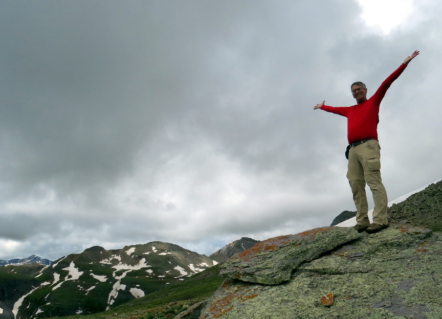


The starting elevation for this hike is at 10950'. We climbed to the top of the South Ridge, which is at 12,890'. This was the highest altitude we reached on this vacation. Being so high gave us some sweeping views to the east and (once we climbed South Ridge) to the south.
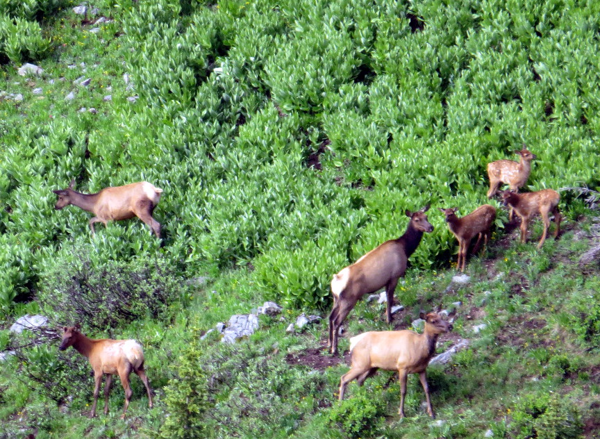
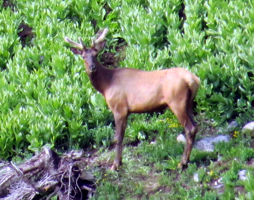
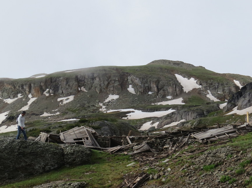
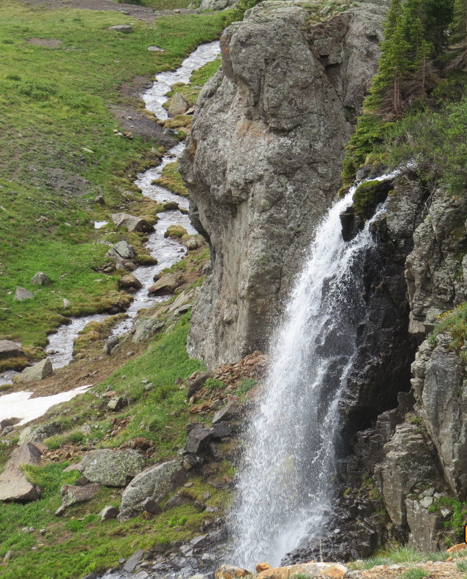
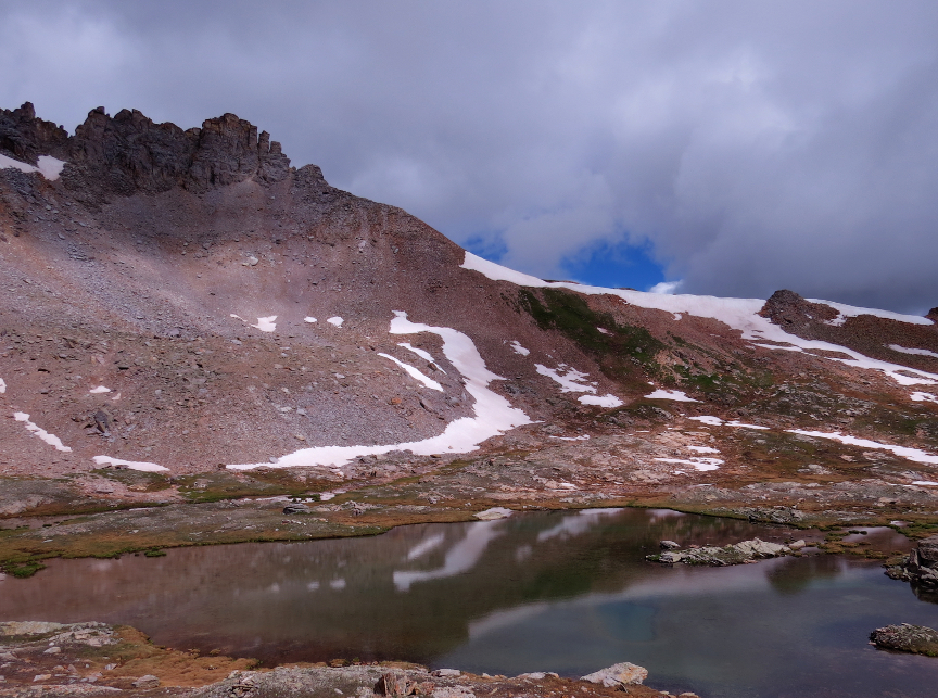
Ed came with us on this hike, while Rayden and Suz went off on a horseback riding adventure. We started hiking at just after 7 A.M. We always like to get early starts - it makes it more likely we will get a parking spot, and we have found that thunderstorms are more likely to occur in the afternoons. The toughest part of the hike is the first section, when there is a lot of climbing. But after we got up around a bend and entered Porphyry Basin, the trail leveled out and the views leveled up. It is a scenic environment. Ed was keen to explore the abandoned mines. I saw him picking up golden nuggets and stuffing his pockets full of treasure! Since this land is not a National Park or a National Monument, it is okay to take home souvenirs. Ed probably collected a couple pounds of golden momentos. We marveled at the unnamed lake, and ate lunch while looking at Porphyry Lake. Then we hiked up to the South Ridge Overlook. We spent time enjoying the expansive vistas. Melanie's watch said it was 11:15 AM while were on top of the ridge. I tried using the PeakVisor website from on top of Three Needles to see if I could identify some of the many peaks that appear in these vistas. Some loud fighter jets came zooming low over the mountains. There must be an airforce base nearby. We met another couple on the jeep trail, and they suggested the Columbine Lake was a great hike, and also Bear Creek Falls. We will try for one of those trails tomorrow. A light rain started falling as we hiked the last mile to the car. We finished at 1:30 P.M. We had ice cream for dinner! I took a lot of panorama photos on this hike. At this high elevation, we got plenty of dramatic views in all directions. This was perhaps the most scenic hike on our trip. I copied the map and trail profile from the Hiking & Walking Porphyry Basin website
Panorama Photos


Short Videos
Video from Porphyry Basin

360 degree video atop the South Ridge

Photos from Porphyry Basin Trail