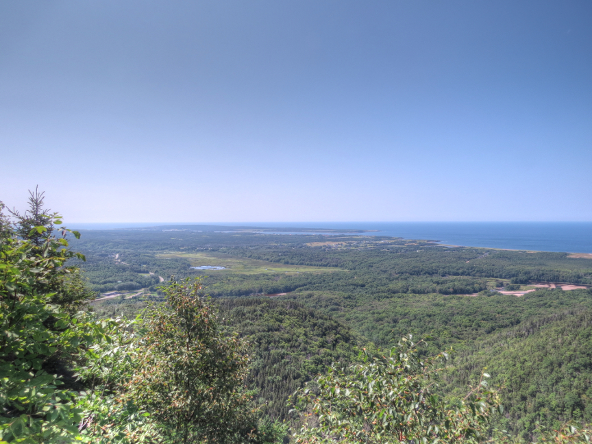

Today was our last day in Cape Breton Natonal Park. We did two of the most famous hiking trails. Because Skyline is so popular, we got there early to beat the tour bus crowds.
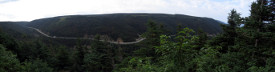
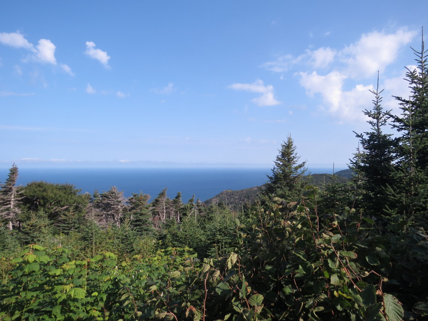
The Skyline trail takes the hiker out toward the Gulf of St. Lawrence. The area used to be an arboreal forest, but budworms attacked and destroyed many of the trees. Birch trees grew up in
the vacant landscape. Moose love to eat birch bark, and so their population exploded. Humans have wiped out wolves and big cats that eat moose, so the moose numbers are unchecked on Nova Scotia (we heard a lot about car / moose
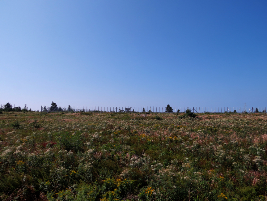
collisions, sometimes they even close roads when there are too many moose are on the road). There was an experimental, large fenced area that was meant to keep the moose out and regrow the original arboreal forest.
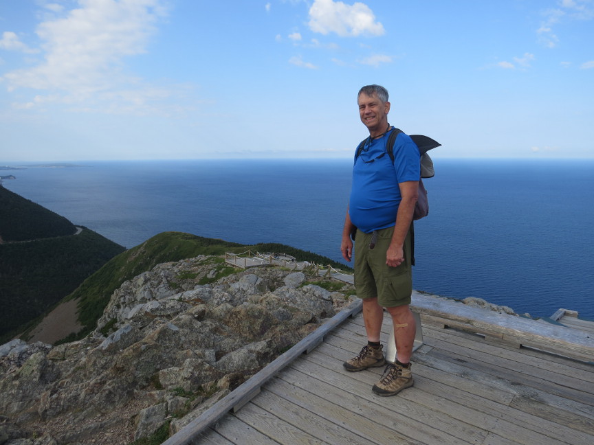
At the furthest point of the Skyline Trail, a set of steps takes the hiker down to a view point, giving views of steep cliffs and ocean waves. I was hoping to spot whales, but no such luck. I counted
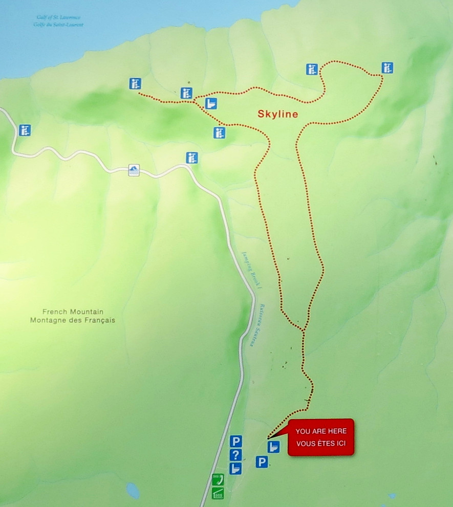
266 steps from the highest boardwalk down to the lowest viewing platform. We continued around the Skyline loop in a clockwise direction to return to the parking lot, which was rapidly filling up with vehicles. This is the trail map for the famous Skyline Trail that was posted on the sign board at the start of the hike.
The Skyline Trail is the most popular hike in Cape Breton National Park. The signboard read:
Skyline Trail Distance: Out-and-back: 6.5 Km (4 miles), Loop: 8.2 Km (5.1 miles)
Time: 2-3 hours Elevation: 290-405 m (950 - 1330 ft)
The trail leads to a dramatic headland cliff above the rugged Gulf of St. Lawrence coast. Wildlife viewing opportunities include moose, bears, whales and eagles. We walked the loop on a clockwise route.
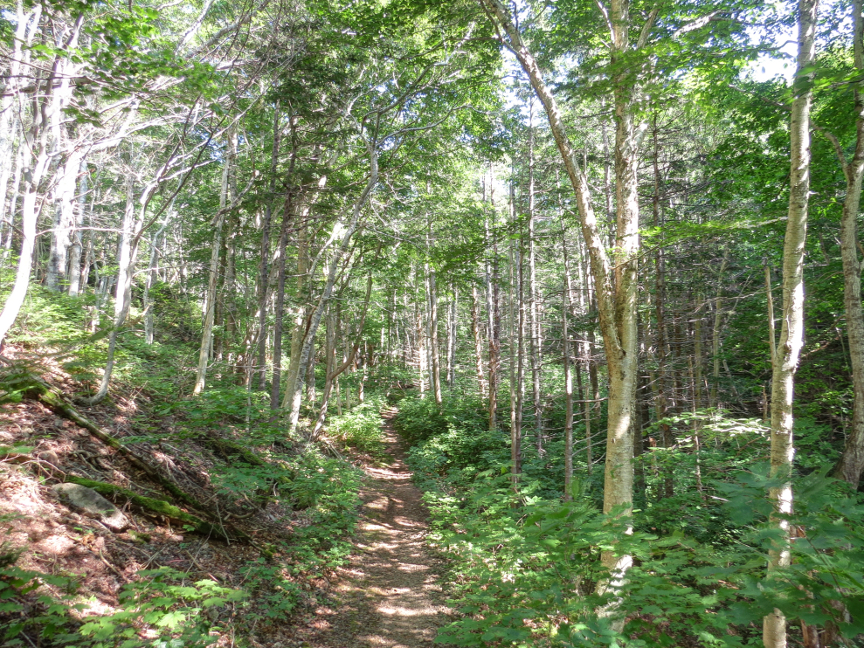
We drove down the Cape Breton Visitor Center and ate lunch before setting off on the Acadian Trail. We hiked in the recommended counter-clockwise direction. This meant that the uphill portion of the trail was hiked beneath shady trees. At the far point of the loop, we exited the tree cover and approached the cliffs. There are viewpoints along this side of the loop, looking out into the Gulf of St. Lawrence. There was another bright red Adirondack chair to sit in to admire the view. We stopped at most of the viewpoints as we hiked back down to the starting point at the Visitor's Center.
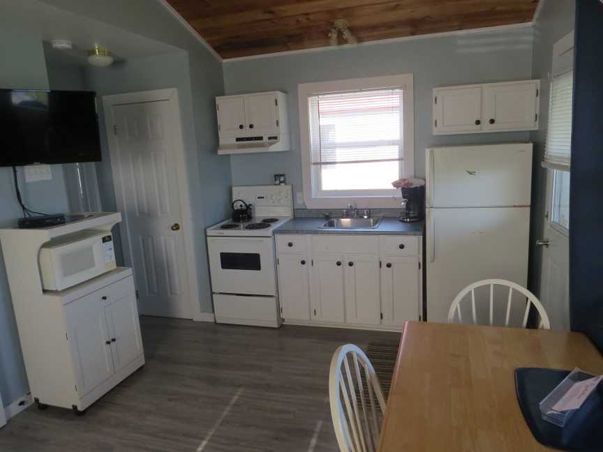
We left the park and drove to Port Hawkesbury, where we had a reservation for a nice cabin. It was windy there, but had an expansive view from a hilltop. After midnight, I woke up and looked outside.
The wind had stopped and the night sky was clear, so Melanie and I went outside. Although there were dim lights along the horizon, overhead was dark and we could faintly see the Milky Way. Melanie pointed out Andromeda.
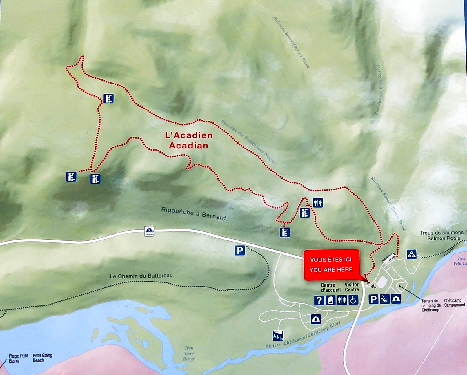
The Acadian trail map. We followed the suggestion to hike the loop counterclockwise. This meant that all of the uphill was done in the shaded forested section,
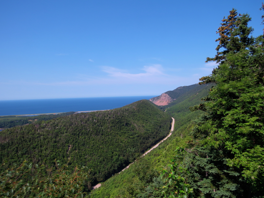
while the sections open to the sun and scenic views were on the downhill side. The signboard read: Acadian Trail Distance (loop): 8.4 Km (5.2 miles) Time: 3-4 hours Elevation: 20-365 m (65 - 1200 ft) The trail climbs through mature Acadian forest to a mountain ridge overlooking the Gulf of St. Lawrence, the immense highland plateau and the steep-sided Chéticamp River canyon. Acadian settlers lived in this area until the 1930s.
Time: 3-4 hours