
|
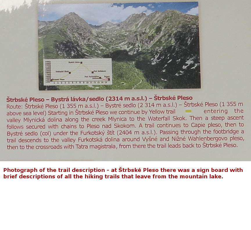
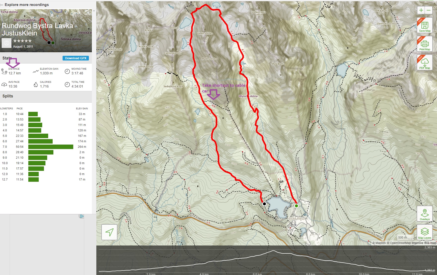
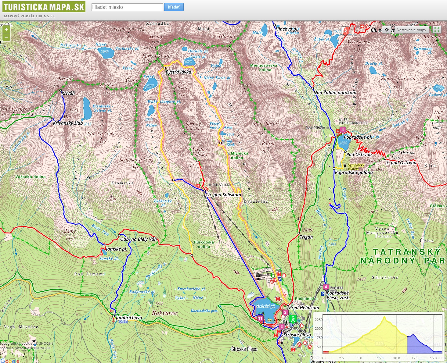
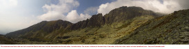
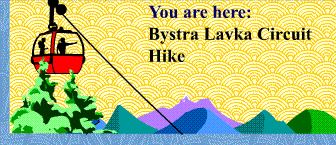
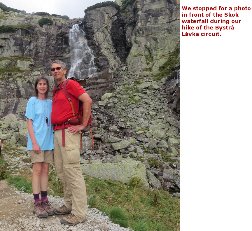
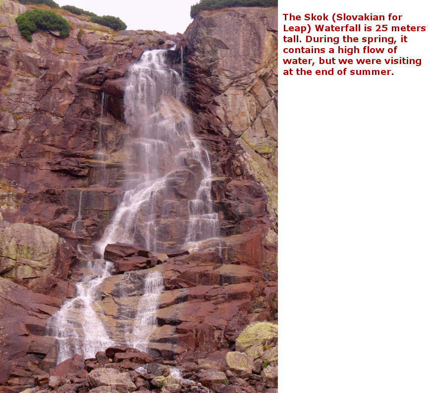
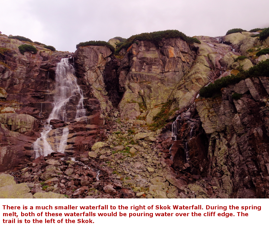
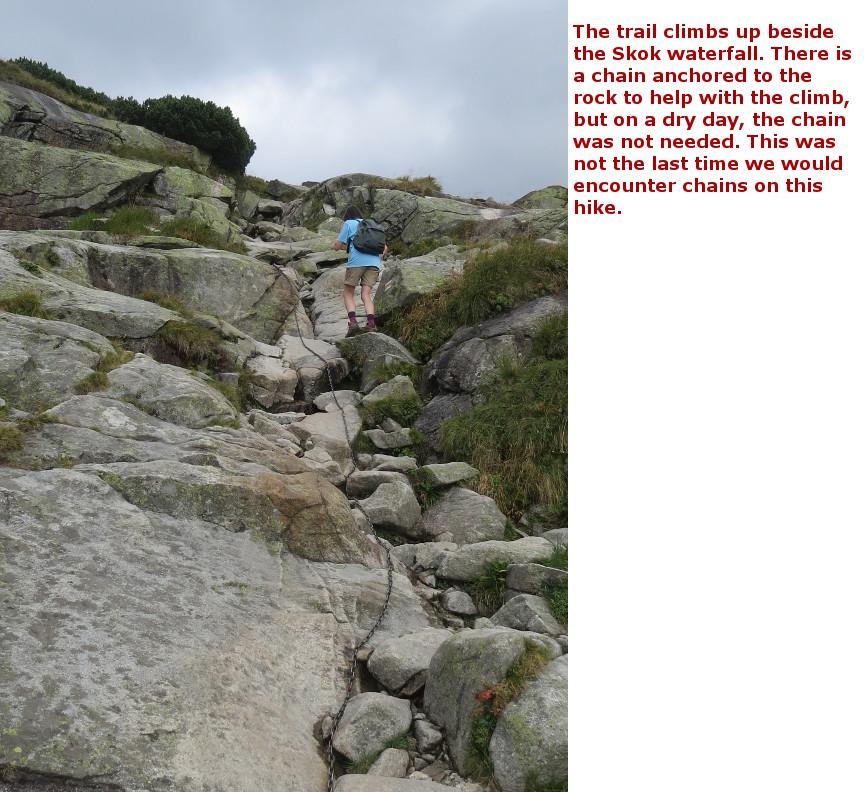
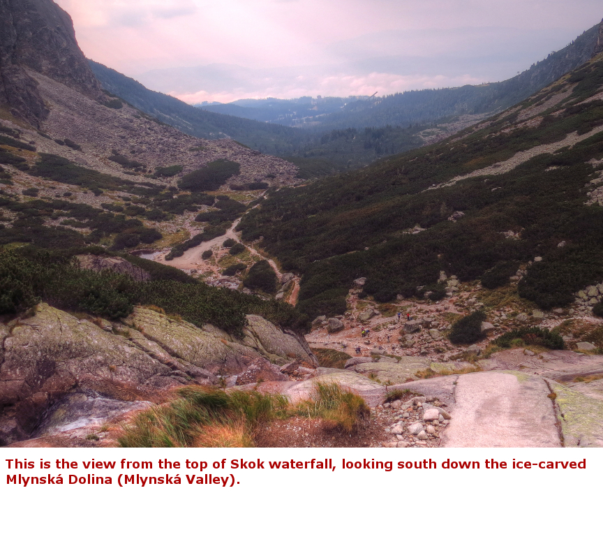
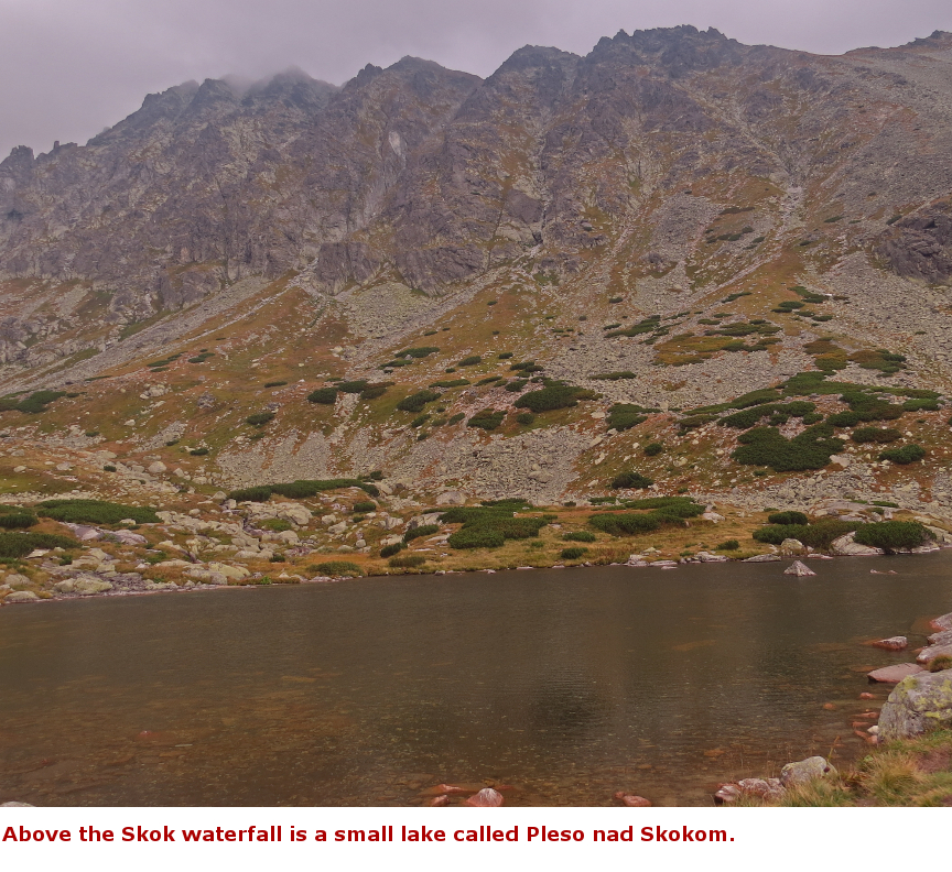
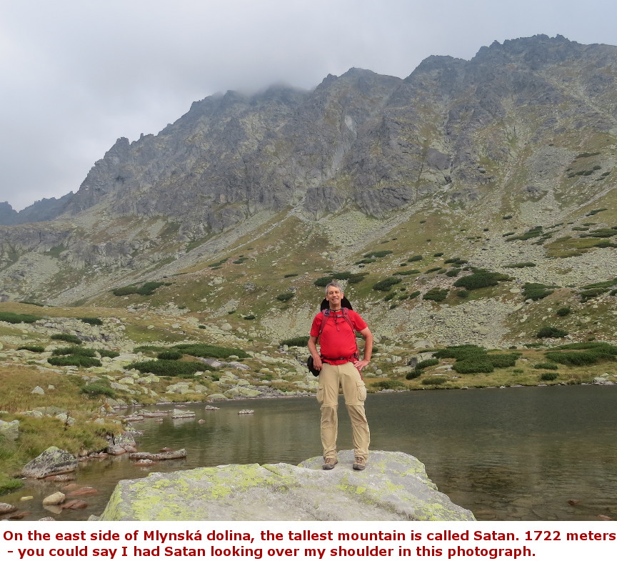
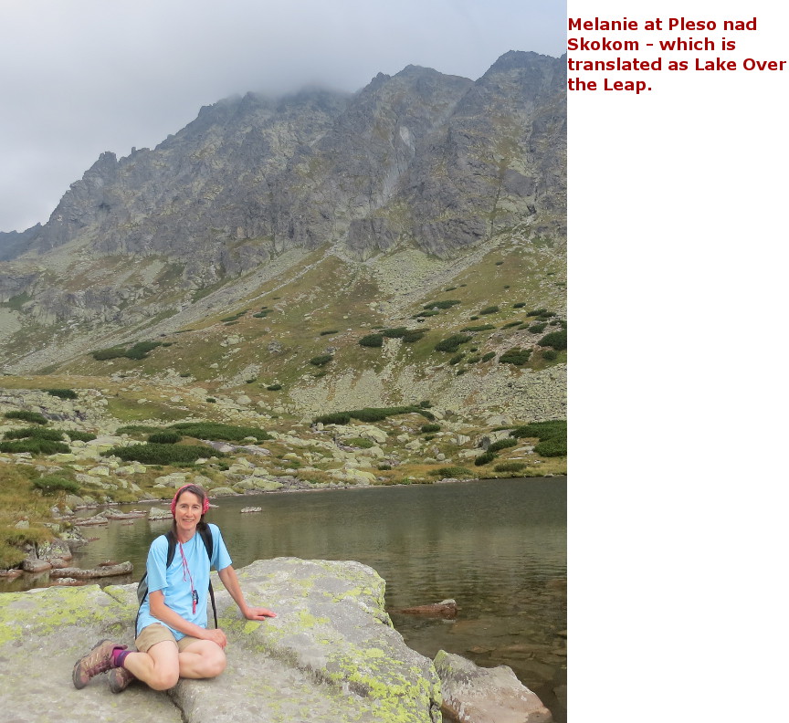
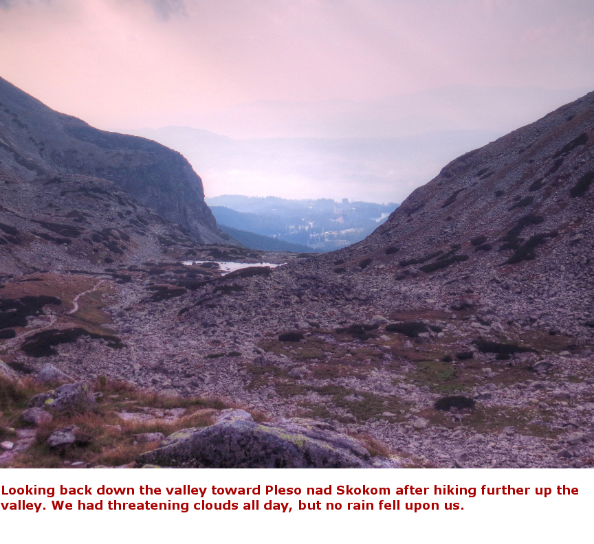
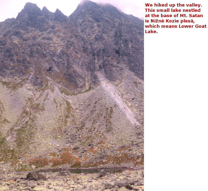
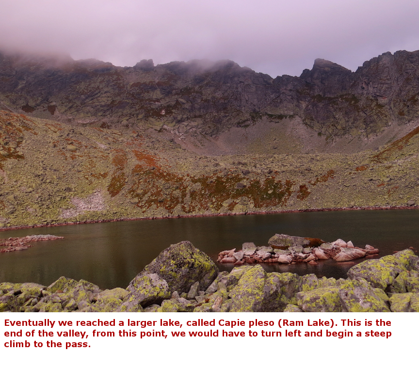
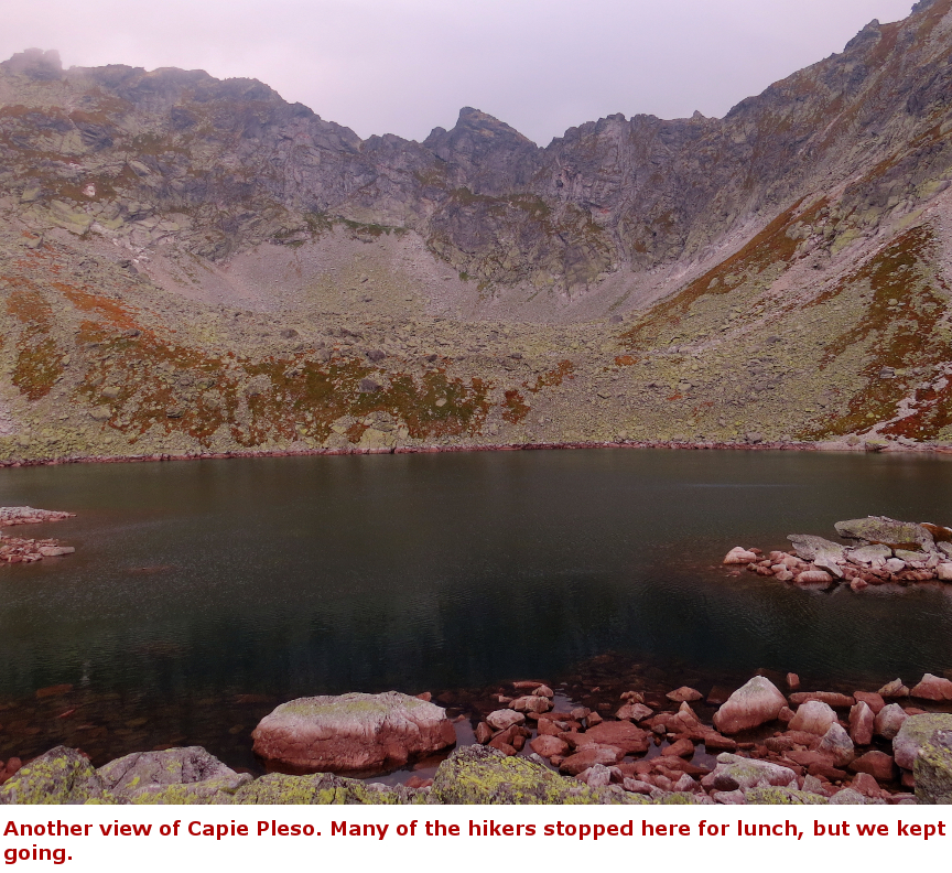
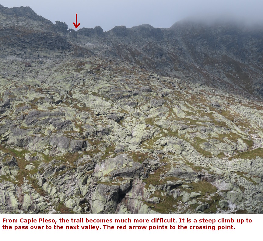
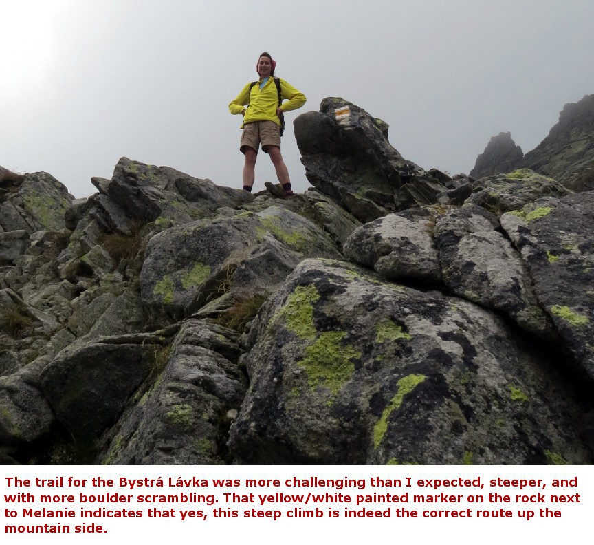
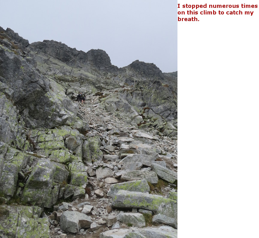
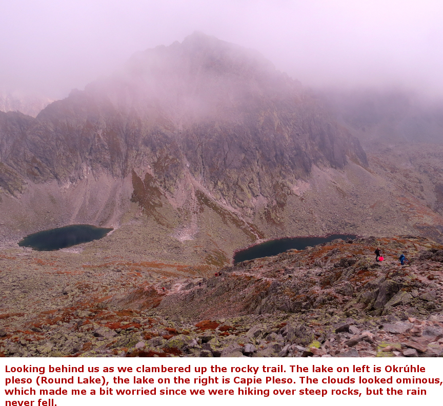
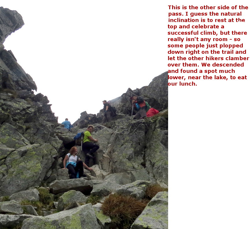
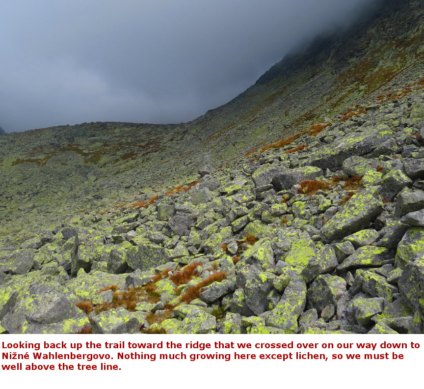
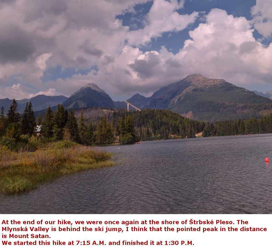
Just like the climb to Mt. Krivßn, the Bystrß lßvka circuit hike starts at the famous Ŗtrbskķ Pleso lake. This is another full day hike. It isn't as arduous as the Krivßn hike, but it isn't easy. It is a loop hike - you start up the Mylnickß dolina (valley) and then climb steeply up to a rocky ridge - the last few meters have a chain to assist hikers to reach the top. When you clamber over the spine of the ridge, you descend steeply down into the next valley, Furkotskß Valley The entire route is on the yellow trail, except for the final easy half hour walk that returns you to the Ŗtrbskķ Pleso starting point. According to my High Tatras hiking map, the expected hiking time is 7 hours and 45 minutes. We started early, at 7 A.M, and finished at about 1:30 P.M. There is an option to take a chair lift down to Ŗtrbskķ Pleso, rather than walking all the way back down (the last part of the hike is in forest, so it isn't that interesting). We planned to ride down on the chairs, but when we got to the trail junction, we looked up to the ridge and saw that the chairs were not moving. So we figured that the chair lift was not running, and thus we had to hike all the way back to the start. When we got back to Ŗtrbskķ Pleso, we could see that there are actually two chair lifts, and the second lift was running. The second lift was out of sight from the trail junction, we should have continued up the short blue trail and we could have ridden down easily. Starting early is a good idea. The forecast predicted rain in the afternoon, so that was one good reason for our early start. The other reason is that the Bystrß lßvka circuit is a popular hike - and we were visiting on a weekend (it was a Sunday), so there were a lot of hikers on the trail. The hike itself is relatively easy until you near the end of Mylnickß dolina at Capie Pleso. At the lake shore, the trail turns abruptly west and begins climbing steeply. The trail winds sharply up over a rocky mountainside - I had to stop frequently to catch my breath on the way up. (But may be it isn't that hard, since a number of younger hikers went tramping up past us). Bystrß lßvka translates as "a bright footpath", I wonder if that description is meant for the higher elevations of this hike. Above the Skok waterfall, through the upper reaches of Mylnickß and Furkotskß valleys, there aren't any trees. On a sunny day, there exposed trail might indeed be bright! It was overcast for most of our hike, but at least we didn't encounter any rain. This turned out to be another good hike in the High Tatras mountains. I was glad we were able to see the lakes and mountains and the Skok waterfall. Panorama Photos: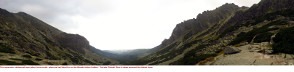
Maps:
Official trail hike map Bystrß lßvka Circuit trail map 


|
Single Click on any thumbnail to begin the slide show at that photograph Bystrß lßvka Photos 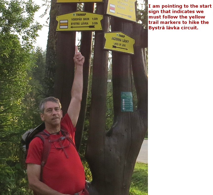


|